SWOT Reveals Tsunami Complexity, Improves Models
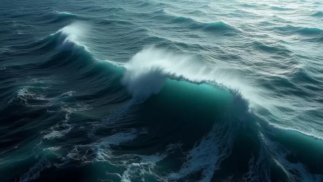
In a landmark moment for marine science, the Surface Water Ocean Topography (SWOT) satellite has captured the most detailed images of a tsunami to date. While orbiting high above the Pacific, the spacecraft documented the aftermath of a massive seismic event off the coast of Russia's Kamchatka Peninsula. This rare observation, recently detailed in the journal The Seismic Record, provides a high-resolution look at how these destructive waves move across the open ocean, offering insights that were previously impossible to obtain from space.
A New Perspective on Oceanic Disturbances
For decades, tracking tsunamis relied on a sparse network of deep-sea sensors and satellites that could only observe narrow, linear paths. SWOT, a joint venture between NASA and the French space agency CNES, has changed the paradigm. Launched in late 2022 to conduct a global survey of Earth's water, the satellite utilizes advanced radar technology to capture a wide swath of the sea surface—up to 120 kilometers across.
During the July event, this wide-angle view revealed that the tsunami was far more complex than a single, uniform wave. Instead, the data showcased an intricate web of interacting waves, scattering and spreading across the Pacific basin. This level of detail allows researchers to see the fine-scale "texture" of the ocean surface, which is essential for understanding how energy dissipates or concentrates as it approaches land.
Integrating Satellite Imagery with Deep-Sea Sensors
To build a complete picture of the disaster, researchers at the University of Iceland combined SWOT's orbital data with physical measurements from the Deep-ocean Assessment and Reporting of Tsunamis (DART) buoy system. These buoys act as "ground truth" sensors, measuring pressure changes on the sea floor to detect the passing wave.
By merging these two distinct data sets, scientists were able to:
- Refine the estimated magnitude and location of the initial earthquake.
- Identify discrepancies between theoretical models and real-world wave behavior.
- Track the precise speed and height of the tsunami across thousands of miles of open water.
Challenging Long-Held Scientific Theories
The data collected during this event is forcing scientists to rethink the fundamental physics of giant tsunamis. Historically, large-scale tsunamis were categorized as "non-dispersive." This theory suggested that the waves would maintain a stable, singular form over long distances without breaking apart into smaller oscillations.
However, the high-resolution SWOT imagery proved otherwise. The satellite captured clear evidence of wave dispersion, where the primary wave is followed by a series of trailing waves. By adjusting their simulations to include this dispersive energy, modelers found that the new results aligned much more closely with the satellite's observations. This discovery suggests that trailing waves may play a significant role in how a tsunami impacts a coastline, potentially modulating the height and force of the primary surge.
Redefining the Scope of the Earthquake
Beyond the waves themselves, the satellite data provided critical clues about the earthquake that triggered the event. The July 29 tremor, occurring within the Kuril-Kamchatka subduction zone, was initially estimated to have caused a 300-kilometer-long rupture in the Earth's crust.
However, when comparing the SWOT data to arrival times at various DART buoys, researchers noticed significant timing anomalies. Through a process known as inversion, the team determined that the rupture was actually 400 kilometers long, extending much further south than earlier seismic models suggested. This level of precision highlights how ocean-based data can be used to "back-calculate" the exact characteristics of a massive earthquake.
The Future of Coastal Protection and Warnings
The Kuril-Kamchatka region has a history of generating some of the world's most powerful tsunamis, including a catastrophic magnitude 9.0 event in 1952. While the international warning system functioned effectively during the recent event, the integration of SWOT-like data could make future alerts even more accurate.
Currently, hydrodynamic models used for tsunami forecasting and seismic models used for earth movements are often handled separately. Experts are now advocating for a more integrated approach, combining every available data stream—from orbital radar to seafloor pressure sensors. As satellite technology evolves, the hope is that these high-resolution "eyes in the sky" will move from research tools to essential components of real-time disaster response systems, saving lives through more precise coastal impact predictions.